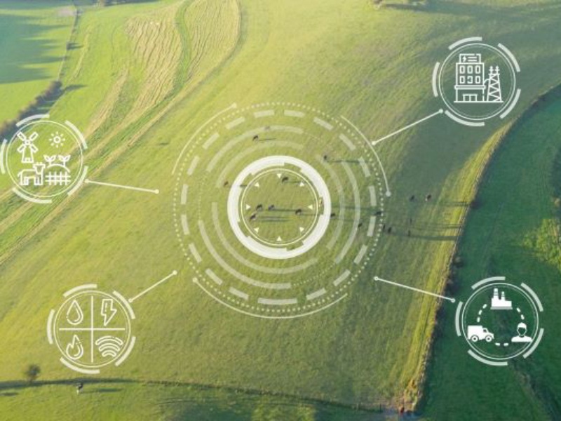
The Promise of Satellite MRV
Satellite-based Measurement, Reporting and Verification (MRV) has significantly transformed the carbon market. The growing number of sensors orbiting the earth has allowed developers to effectively monitor forest cover, track deforestation and estimate biomass without physical access to the fields. This has resulted in a compelling promise of low cost, global coverage and rapid deployment.
For large-scale forestry projects in the Amazon and Southeast Asia, Satellite MRV have been effective. Canopy cover is visible from space which makes it possible to clearly view the effect of deforestation and human-forest boundaries.
But for smallholder agriculture in Africa, the story is different.
The Reality: Three Fundamental Failures
The application of satellite-only MRV in African smallholder systems fails in various ways including:
A. Persistent cloud cover
Across high-rainfall agricultural zones in Kenya, Uganda, and Tanzania, cloud cover is seasonal and persistent. During growing seasons, when carbon sequestration is most active, clouds obscure the very ground that needs monitoring.
Satellites capture what they can see meaning that when clouds block the view, data gaps appear. Some providers fill gaps with interpolation by guessing what lies beneath. In heterogeneous smallholder plots, where practices vary from one farmer to the next, interpolation introduces significant error.
The result: carbon estimates with high uncertainty that fail third-party verification audits.
B. The canopy problem
Satellites see the top of the canopy. They cannot see what happens beneath it.
In smallholder systems, critical carbon dynamics occur below the canopy in terms of soil organic carbon, intercropping, agroforestry understory, and crop rotation patterns. A farmer may plant nitrogen-fixing trees among maize, sequestering carbon in both biomass and soil which satellite-only MRV can easily miss.
Ground-based methods catch below-canopy dynamics but are expensive and slow. Satellite-only methods are cheap and fast but blind to what matters most. This explains why many African agricultural carbon projects fail verification or receive discounted credit issuance.
C. Heterogeneity confuses uniform assumptions
Satellite models assume uniformity within a pixel, typically 10m x 10m or 30m x 30m. In African smallholder systems, that pixel contains multiple farmers, multiple crops, multiple practices, and varying tree cover.
Farmer A practices agroforestry. Farmer B does not. Their adjacent plots fall into the same satellite pixel. The model averages them, producing a result that is accurate for neither.
Verifiers require plot-level accuracy. Satellite-only models cannot deliver it in heterogeneous landscapes.
The consequences of Failure
These challenges translate into real-world consequences including:
A. Failed verification: Credits are rejected or issued at discounted rates, reducing farmer income
B. Delayed payments: Projects spend 12-24 months resolving data disputes before first credit issuance
C. High discount rates: Verifiers apply 30-50% uncertainty discounts to satellite-only estimates
D. Abandoned projects: Developers exit smallholder agriculture entirely, focusing on forestry instead
For smallholder farmers, this means promised carbon income never arrives. For carbon developers, it means stranded costs and frustrated buyers. For the climate, it means forgone sequestration from the very systems that could deliver verified removals at scale.
The Root Cause: Missing Ground Truth
The main reason why these failures persist is the lack of ground truth in Satellite-only MRVs.
Ground truth is real-world data collected on the ground including soil samples, tree measurements, farmer interviews, practice records. It calibrates satellite estimates, validates models, and provides the audit trail verifiers demand.
Without ground truth, satellite estimates are uncalibrated guesses. With ground truth, they become accurate, defensible, and bankable.
The challenge is that traditional ground-truthing is expensive, slow, and logistically difficult across thousands of smallholder plots. This means the need for a strategic approach to implement them.
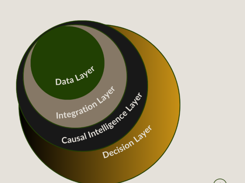
What Works Instead: Strategic Ground Truthing + Causal AI
The alternative to satellite-only MRV is not pure ground-based monitoring. That approach takes 2-3 years and costs prohibitive at scale.
The alternative is hybrid MRV: strategic ground-truthing at representative sample points, combined with causal AI that learns from those points and applies that learning across the landscape.
This approach works because:
• Causal AI understands relationships, not just correlations. It can learn how soil type, rainfall, and practice interact to produce carbon outcomes which helps to understand where ground data is absent.
• Strategic sampling reduces cost: Instead of measuring every plot, measure a statistically representative sample (5-10% of plots). The AI model extrapolates to the remaining 90-95% with quantified uncertainty.
• Uncertainty is transparent: Verifiers can see exactly where estimates are confident and where they are not. This transparency builds trust and reduces discount rates.
Gold Standard's 2025 guidelines incorporates model-assisted estimation over expensive soil sampling.
From Failure to Function
One of the reasons why satellite-only MRVs fail African smallholders is because they were designed for large, homogenous and visible systems.
Smallholder agriculture in Africa is heterogeneous, below-canopy, and frequently clouded. It requires a different approach.
This can be achieved by combining strategic ground truth with causal AI. It is faster than ground-only systems (3 months vs 2-3 years). It is more accurate than satellite-only systems. And it delivers what farmers and developers actually need: verified, bankable carbon credits.
April 14, 2026 5 min read
Why Satellite MRV Fails African Smallholders
Satellite MRV fails African farms due to cloud cover, scattered plots, and missing ground data. Learn why and how causal AI bridges the gap.
P
Peter Gichane
PhD Researcher

Explore More Publications
Discover more insights on climate analytics and sustainability.
View All Publications